File:Bilingual road signage approaching a... (C) Richard Hoare - Geograph - 1447619.jpg
Jump to navigation
Jump to search

No higher resolution available.
Bilingual_road_signage_approaching_a..._(C)_Richard_Hoare_-_Geograph_-_1447619.jpg (640 × 480 pixels, file size: 46 KB, MIME type: image/jpeg)
| |||||||||||||||||||||||||
|
Galleries | Level Crossing | Bilingual signs | Conwy | ||
File history
Click on a date/time to view the file as it appeared at that time.
| Date/Time | Thumbnail | Dimensions | User | Comment | |
|---|---|---|---|---|---|
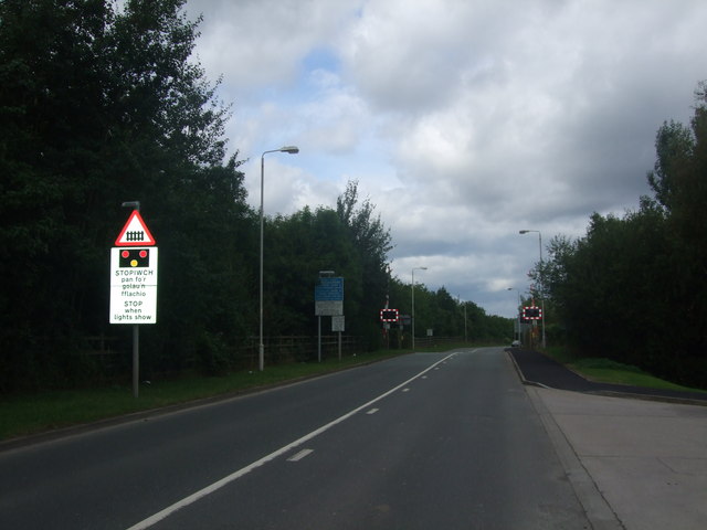
| current | 07:21, 23 October 2013 | | 640 × 480 (46 KB) | Glen (talk | contribs) | '''Bilingual road signage approaching a... (C) Richard Hoare '''<br/>On Ffordd Maelgwyn approaching the level crossing on the railway line from Llandudno Junction to Blaenau Ffestiniog. |
File usage
The following page uses this file:
_Richard_Hoare_-_Geograph_-_1447619.jpg&oldid=406079)