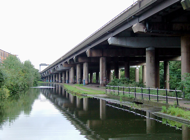
Birmingham and Fazeley Canal near Gravelly Hill, Birmingham This is just east of Salford Junction (for the canal) and Spaghetti Junction (for the M6 motorway, elevated on the right. The River Tame flows through the trees to the right of the motorway pillars.
'''Birmingham and Fazeley Canal near Gravelly Hill, Birmingham'''<br/>This is just east of Salford Junction (for the canal) and Spaghetti Junction (for the M6 motorway, elevated on the right. The River Tame flows through the trees to the right of the moto
File usage
There are no pages that use this file.
Metadata
This file contains additional information, probably added from the digital camera or scanner used to create or digitise it.
If the file has been modified from its original state, some details may not fully reflect the modified file.
