File:Black Country Route, Bilston, Wolverhampton - Geograph - 1796060.jpg
Jump to navigation
Jump to search

No higher resolution available.
Black_Country_Route,_Bilston,_Wolverhampton_-_Geograph_-_1796060.jpg (640 × 466 pixels, file size: 136 KB, MIME type: image/jpeg)
| |||||||||||||||||||||||||
|
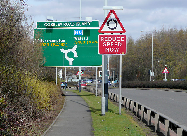
Galleries | A463 | A4039 | Wolverhampton | Coseley Road Island | Black Country Route | Bilston | ||
File history
Click on a date/time to view the file as it appeared at that time.
| Date/Time | Thumbnail | Dimensions | User | Comment | |
|---|---|---|---|---|---|
| current | 13:57, 5 May 2010 | | 640 × 466 (136 KB) | Steven (talk | contribs) | A463 Black Country Route, Bilston, Wolverhampton'''<br/>Just beyond this roundabout, the route bypasses the centre of Bilston as it makes its way eastward to the M6 and Walsall. |
File usage
The following 7 pages use this file: