File:Black Country Route in Bilston,... (C) Roger Kidd - Geograph - 3549383.jpg
Jump to navigation
Jump to search

Size of this preview: 470 × 599 pixels. Other resolution: 502 × 640 pixels.
Original file (502 × 640 pixels, file size: 99 KB, MIME type: image/jpeg)
| |||||||||||||||||||||||||
|
Galleries | A463 | Black Country Route | Wolverhampton | Bilston | ||
File history
Click on a date/time to view the file as it appeared at that time.
| Date/Time | Thumbnail | Dimensions | User | Comment | |
|---|---|---|---|---|---|
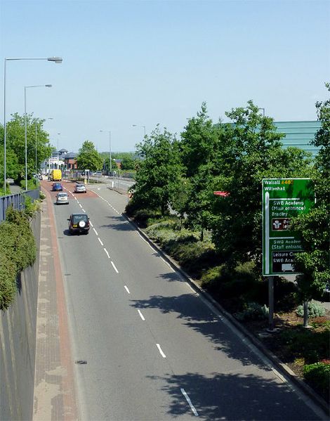
| current | 22:28, 13 September 2013 | | 502 × 640 (99 KB) | Steven (talk | contribs) | '''Black Country Route in Bilston,... (C) Roger Kidd '''<br/>The A463 Looking east from the footbridge. |
File usage
There are no pages that use this file.
_Roger_Kidd_-_Geograph_-_3549383.jpg&oldid=528477)