File:Blackfriars Bridge, London - Geograph - 1694727.jpg
Jump to navigation
Jump to search

No higher resolution available.
Blackfriars_Bridge,_London_-_Geograph_-_1694727.jpg (640 × 480 pixels, file size: 73 KB, MIME type: image/jpeg)
| |||||||||||||||||||||||||
|
Galleries | A201 | Blackfriars Bridge | ||
File history
Click on a date/time to view the file as it appeared at that time.
| Date/Time | Thumbnail | Dimensions | User | Comment | |
|---|---|---|---|---|---|
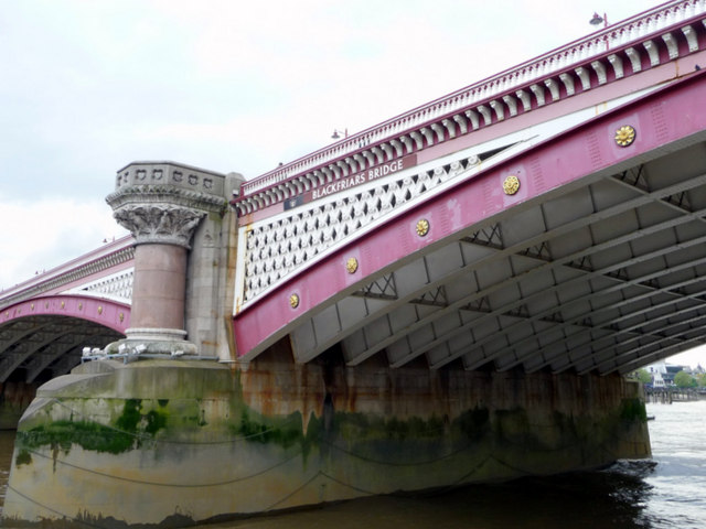
| current | 14:55, 29 July 2010 | | 640 × 480 (73 KB) | Si404 (talk | contribs) | '''Blackfriars Bridge, London'''<br/>Blackfriars road bridge, as seen from a Thames pleasure boat. This view is from the east of the bridge. |
File usage
There are no pages that use this file.