File:Borehamwood- A1-A411 Stirling Corner roundabout - Geograph - 4375454.jpg
Jump to navigation
Jump to search

No higher resolution available.
Borehamwood-_A1-A411_Stirling_Corner_roundabout_-_Geograph_-_4375454.jpg (640 × 480 pixels, file size: 66 KB, MIME type: image/jpeg)
| |||||||||||||||||||||||||
|
Galleries | A1 | A411 | Stirling Corner | A1 London - Peterborough | ||
File history
Click on a date/time to view the file as it appeared at that time.
| Date/Time | Thumbnail | Dimensions | User | Comment | |
|---|---|---|---|---|---|
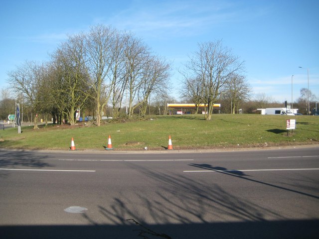
| current | 11:06, 10 July 2016 | | 640 × 480 (66 KB) | C2r (talk | contribs) | '''Borehamwood- A1-A411 Stirling Corner roundabout''' This roundabout is so large that it is virtually impossible to stand back far enough to capture it all in one image. To be pedantic it's more of an "ellipseabout" than a roundabout, with a... |
File usage
The following 3 pages use this file: