File:Boundary sign - Geograph - 1668337.jpg
Jump to navigation
Jump to search

No higher resolution available.
Boundary_sign_-_Geograph_-_1668337.jpg (640 × 404 pixels, file size: 76 KB, MIME type: image/jpeg)
| |||||||||||||||||||||||||
|
Galleries | b6251 | Information Sign | S2 | ||
File history
Click on a date/time to view the file as it appeared at that time.
| Date/Time | Thumbnail | Dimensions | User | Comment | |
|---|---|---|---|---|---|
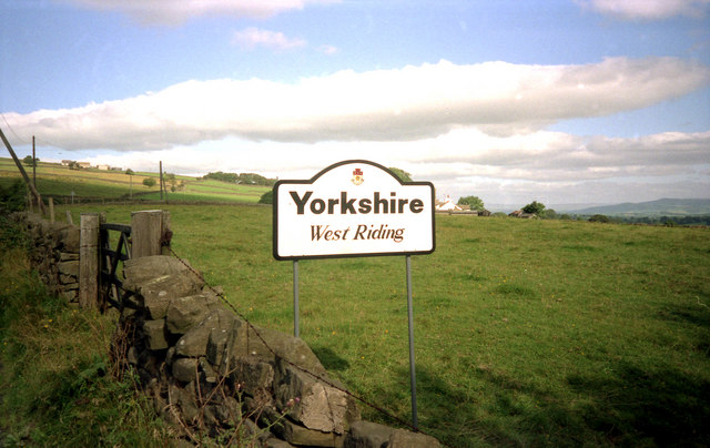
| current | 14:27, 7 April 2010 | | 640 × 404 (76 KB) | Bob@romiley1 (talk | contribs) | '''Boundary sign'''<br/>Driving along the B6251 from Higherford to Barnoldswick, this sign leaves you in no doubt as to where you are. |
File usage
The following 2 pages use this file: