File:Bow Flyover - Geograph - 134071.jpg
Jump to navigation
Jump to search

No higher resolution available.
Bow_Flyover_-_Geograph_-_134071.jpg (640 × 480 pixels, file size: 77 KB, MIME type: image/jpeg)
| |||||||||||||||||||||||||
|
Galleries | A11 | A118 | Bow Interchange | ||
File history
Click on a date/time to view the file as it appeared at that time.
| Date/Time | Thumbnail | Dimensions | User | Comment | |
|---|---|---|---|---|---|
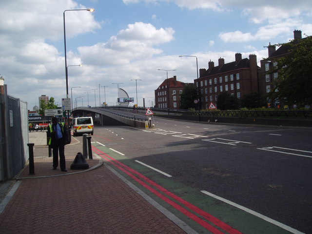
| current | 08:39, 6 July 2010 | | 640 × 480 (77 KB) | Abeaton (talk | contribs) | '''Bow Flyover'''<br/>Looking east along the A11. A fine example of the effect of road building on the environment. |
File usage
The following 5 pages use this file: