File:Bridleway crossing Gun Road - Geograph - 2023249.jpg
Jump to navigation
Jump to search

No higher resolution available.
Bridleway_crossing_Gun_Road_-_Geograph_-_2023249.jpg (640 × 410 pixels, file size: 63 KB, MIME type: image/jpeg)
| |||||||||||||||||||||||||
|
Galleries | C451 (Stockport) | S1 | ||
File history
Click on a date/time to view the file as it appeared at that time.
| Date/Time | Thumbnail | Dimensions | User | Comment | |
|---|---|---|---|---|---|
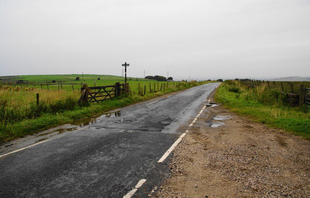
| current | 17:43, 10 November 2016 | | 640 × 410 (63 KB) | Jeni (talk | contribs) | '''Bridleway crossing Gun Road''' To the left, the bridleway descends to Marple Bridge. To the right it goes over the top of Coombes. |
File usage
The following page uses this file: