File:Bunchrew level crossing signs.jpg
Jump to navigation
Jump to search

Size of this preview: 800 × 533 pixels. Other resolution: 1,133 × 755 pixels.
Original file (1,133 × 755 pixels, file size: 680 KB, MIME type: image/jpeg)
| |||||||||||||||||||||||||
|
Galleries | C1114 (Highland) | Level Crossing | Inverness-shire | ||
File history
Click on a date/time to view the file as it appeared at that time.
| Date/Time | Thumbnail | Dimensions | User | Comment | |
|---|---|---|---|---|---|
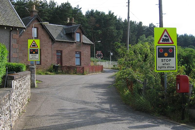
| current | 22:40, 12 February 2010 | | 1,133 × 755 (680 KB) | Glen (talk | contribs) | {{Information |description = Bunchrew level crossing |day = 27 |month = 07 |year = 2006 |photographer = Glen |source = |road = |road2 = |road3 = |lat = 57.4781942 |lng = -4.3091968 |
File usage
The following 2 pages use this file: