File:Bushbury Island roadworks.jpg
Jump to navigation
Jump to search

Size of this preview: 800 × 447 pixels. Other resolution: 1,632 × 912 pixels.
Original file (1,632 × 912 pixels, file size: 392 KB, MIME type: image/jpeg)
| |||||||||||||||||||||||||
|
Galleries | U120 (Wolverhampton) | Bushbury Island | Wolverhampton | ||
File history
Click on a date/time to view the file as it appeared at that time.
| Date/Time | Thumbnail | Dimensions | User | Comment | |
|---|---|---|---|---|---|
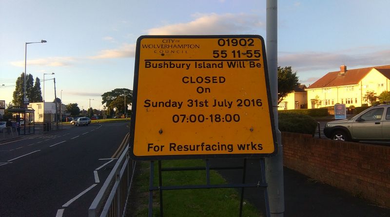
| current | 09:15, 29 July 2016 | | 1,632 × 912 (392 KB) | Steven (talk | contribs) | Temporary signage showing Bushbury Island name |
File usage
The following 2 pages use this file: