File:Cannock Road - Geograph - 1767613.jpg
Jump to navigation
Jump to search

No higher resolution available.
Cannock_Road_-_Geograph_-_1767613.jpg (640 × 480 pixels, file size: 86 KB, MIME type: image/jpeg)
| |||||||||||||||||||||||||
|
Galleries | A460 | Wolverhampton | ||
File history
Click on a date/time to view the file as it appeared at that time.
| Date/Time | Thumbnail | Dimensions | User | Comment | |
|---|---|---|---|---|---|
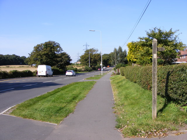
| current | 14:27, 5 May 2010 | | 640 × 480 (86 KB) | Steven (talk | contribs) | Cannock Road, Wolverhampton. The view from the Monarch's Way at Westcroft as it crosses the A460. |
File usage
The following page uses this file: