File:Castle Hill, Dudley - Geograph - 1982951.jpg
Jump to navigation
Jump to search

No higher resolution available.
Castle_Hill,_Dudley_-_Geograph_-_1982951.jpg (640 × 437 pixels, file size: 98 KB, MIME type: image/jpeg)
| |||||||||||||||||||||||||
|
Galleries | A459 | Dudley Tour | Dudley | ||
File history
Click on a date/time to view the file as it appeared at that time.
| Date/Time | Thumbnail | Dimensions | User | Comment | |
|---|---|---|---|---|---|
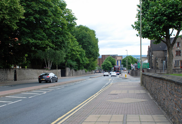
| current | 22:28, 19 August 2010 | | 640 × 437 (98 KB) | Steven (talk | contribs) | '''Castle Hill, Dudley'''<br/>View in the direction of Dudley Zoo entrance, with the Birmingham Street junction on the right. |
File usage
There are no pages that use this file.