File:Catthorpe54.png
Jump to navigation
Jump to search

No higher resolution available.
Catthorpe54.png (500 × 375 pixels, file size: 366 KB, MIME type: image/png)
| ||||||||||||||
|
Galleries | A427 | ||
File history
Click on a date/time to view the file as it appeared at that time.
| Date/Time | Thumbnail | Dimensions | User | Comment | |
|---|---|---|---|---|---|
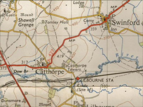
| current | 15:25, 18 April 2009 | | 500 × 375 (366 KB) | Ritchie333 (talk | contribs) | {{Information |description = A427, Swinford and Catthorpe in 1954, before the M1, M6 and A14 |day = |month = |year = 1954 |photographer = Ordnance Survey NPE map sheet 132, scanned by |
File usage
The following page uses this file: