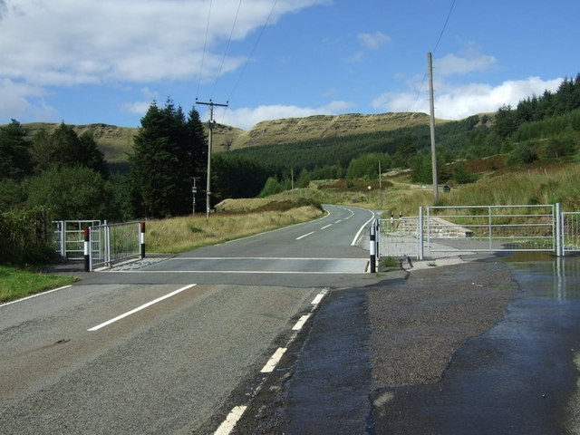
File:Cattle grid on A4061 above Nant-y-Moel - Geograph - 934101.jpg
Jump to navigation
Jump to search

No higher resolution available.
Cattle_grid_on_A4061_above_Nant-y-Moel_-_Geograph_-_934101.jpg (640 × 480 pixels, file size: 75 KB, MIME type: image/jpeg)
| |||||||||||||||||||||||||
|
Galleries | A4061 | ||
File history
Click on a date/time to view the file as it appeared at that time.
| Date/Time | Thumbnail | Dimensions | User | Comment | |
|---|---|---|---|---|---|
| current | 22:41, 20 February 2010 | | 640 × 480 (75 KB) | Jeni (talk | contribs) | {{Information |description = Cattle grid on A4061 above Nant-y-Moel |day = 22 |month = 08 |year = 2008 |photographer = © Copyright [http://www.geograph.org.uk/profile/25416 Colin Pyle and licensed for reuse under [http://creative |
File usage
There are no pages that use this file.