File:Cheshunt Wash - Geograph - 760905.jpg
Jump to navigation
Jump to search

No higher resolution available.
Cheshunt_Wash_-_Geograph_-_760905.jpg (640 × 480 pixels, file size: 67 KB, MIME type: image/jpeg)
| |||||||||||||||||||||||||
|
Galleries | B176 | ||
File history
Click on a date/time to view the file as it appeared at that time.
| Date/Time | Thumbnail | Dimensions | User | Comment | |
|---|---|---|---|---|---|
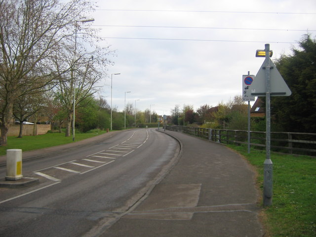
| current | 07:06, 4 May 2010 | | 640 × 480 (67 KB) | Viator (talk | contribs) | Cheshunt Wash at Turnford in the early morning - no cars! Looking north from St Clement's church and the entrance to Lea Valley Park. |
File usage
The following page uses this file: