File:Cor-yarak12.jpg
Jump to navigation
Jump to search

Size of this preview: 400 × 600 pixels. Other resolution: 427 × 640 pixels.
Original file (427 × 640 pixels, file size: 175 KB, MIME type: image/jpeg)
| |||||||||||||||||||||||||
|
Galleries | Corrieyairack Pass | Abandoned Road | Wade's Military Roads | ||
File history
Click on a date/time to view the file as it appeared at that time.
| Date/Time | Thumbnail | Dimensions | User | Comment | |
|---|---|---|---|---|---|
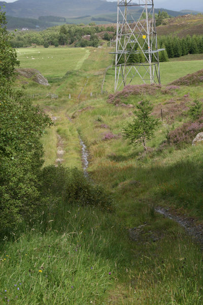
| current | 21:22, 13 August 2010 | | 427 × 640 (175 KB) | Rileyrob (talk | contribs) | The abandoned section of Wades Road between Laggan and Spey Dam on the Corrieyairack Pass |
File usage
There are no pages that use this file.