File:Crossing The Ouse - Geograph - 1519586.jpg
Jump to navigation
Jump to search

No higher resolution available.
Crossing_The_Ouse_-_Geograph_-_1519586.jpg (640 × 480 pixels, file size: 73 KB, MIME type: image/jpeg)
| |||||||||||||||||||||||||
File history
Click on a date/time to view the file as it appeared at that time.
| Date/Time | Thumbnail | Dimensions | User | Comment | |
|---|---|---|---|---|---|
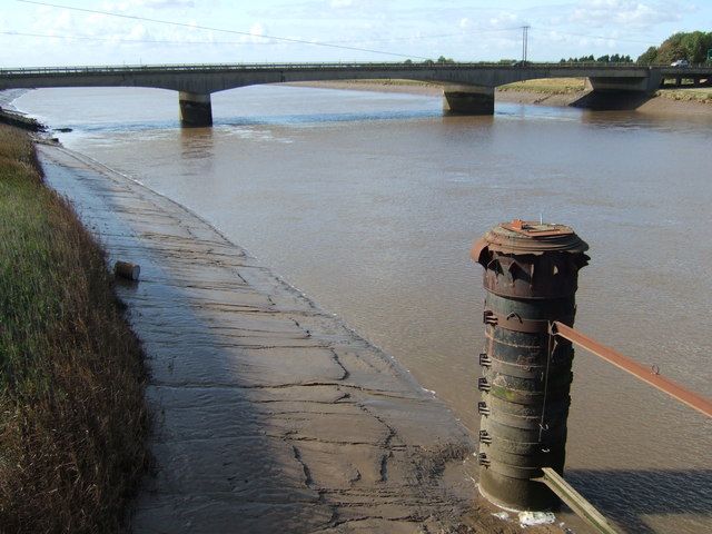
| current | 14:46, 21 June 2010 | | 640 × 480 (73 KB) | Bob@romiley1 (talk | contribs) | '''Crossing The Ouse'''<br/>The A47 crossing The River Great Ouse at Kings Lynn. I believe the remains in the foreground once carried the Sutton Bridge to Kings Lynn railway. |
File usage
The following page uses this file: