File:Crossing the Menai Strait - Geograph - 658290.jpg
Jump to navigation
Jump to search

No higher resolution available.
Crossing_the_Menai_Strait_-_Geograph_-_658290.jpg (640 × 430 pixels, file size: 43 KB, MIME type: image/jpeg)
| |||||||||||||||||||||||||
|
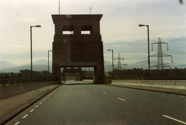
Galleries | A55 | E22 | Ffordd Gogledd Cymru | Britannia Bridge | ||
File history
Click on a date/time to view the file as it appeared at that time.
| Date/Time | Thumbnail | Dimensions | User | Comment | |
|---|---|---|---|---|---|
| current | 02:01, 31 December 2009 | | 640 × 430 (43 KB) | Jeni (talk | contribs) | {{Information |description = Crossing the Menai Strait |day = 03 |month = 08 |year = 1982 |photographer = © Copyright [http://www.geograph.org.uk/profile/9441 Alan Heardman] and licensed for reuse under [http://creativecommons.or |
File usage
The following 3 pages use this file: