File:Crystal Palace- Anerley Hill - Geograph - 1745749.jpg
Jump to navigation
Jump to search

No higher resolution available.
Crystal_Palace-_Anerley_Hill_-_Geograph_-_1745749.jpg (640 × 415 pixels, file size: 96 KB, MIME type: image/jpeg)
| |||||||||||||||||||||||||
|
Galleries | A214 | ||
File history
Click on a date/time to view the file as it appeared at that time.
| Date/Time | Thumbnail | Dimensions | User | Comment | |
|---|---|---|---|---|---|
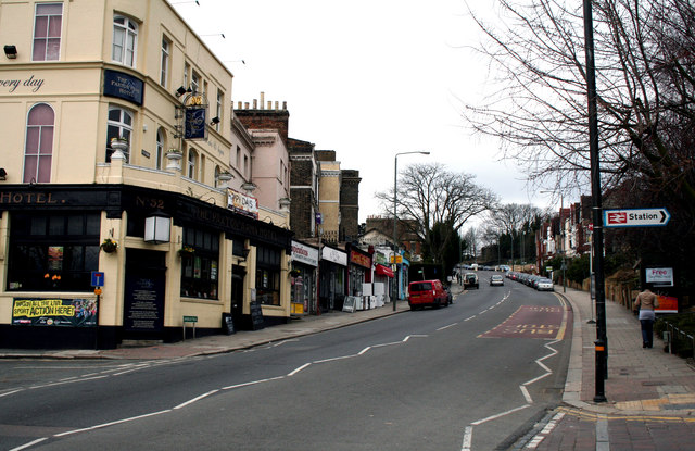
| current | 19:49, 10 March 2010 | | 640 × 415 (96 KB) | Jeni (talk | contribs) | '''Crystal Palace- Anerley Hill'''<br/>Anerley Hill is part of the A214 which ascends from Crystal Palace station to meet the A212 at a roundabout some 500 metres from the camera position. |
File usage
The following page uses this file: