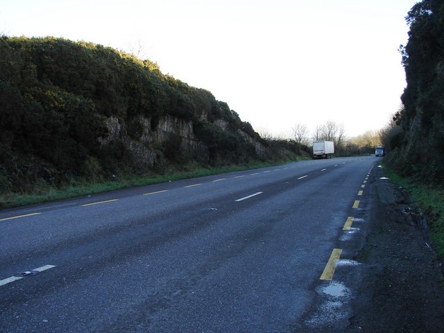
File:Cutting on R600 West Cork Coastal Route - Geograph - 667622.jpg
Jump to navigation
Jump to search

No higher resolution available.
Cutting_on_R600_West_Cork_Coastal_Route_-_Geograph_-_667622.jpg (640 × 480 pixels, file size: 58 KB, MIME type: image/jpeg)
| |||||||||||||||||||||||||
|
Galleries | R600 | Cork Airport | S2 | ||
File history
Click on a date/time to view the file as it appeared at that time.
| Date/Time | Thumbnail | Dimensions | User | Comment | |
|---|---|---|---|---|---|
| current | 11:51, 22 July 2011 | | 640 × 480 (58 KB) | Si404 (talk | contribs) | Cutting on R600 West Cork Coastal Route |
File usage
The following 2 pages use this file: