File:Cycle track from A40 under Central Line... (C) David Hawgood - Geograph - 2573421.jpg
Jump to navigation
Jump to search

No higher resolution available.
Cycle_track_from_A40_under_Central_Line..._(C)_David_Hawgood_-_Geograph_-_2573421.jpg (640 × 480 pixels, file size: 61 KB, MIME type: image/jpeg)
| |||||||||||||||||||||||||
|
Galleries | LCN85 | A40 | Hanger Lane Gyratory | ||
File history
Click on a date/time to view the file as it appeared at that time.
| Date/Time | Thumbnail | Dimensions | User | Comment | |
|---|---|---|---|---|---|
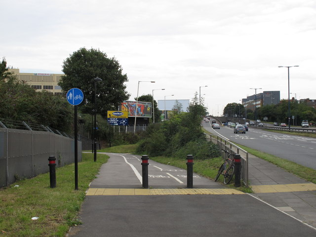
| current | 13:49, 8 March 2014 | | 640 × 480 (61 KB) | Si404 (talk | contribs) | '''Cycle track from A40 under Central Line... (C) David Hawgood '''<br/>There are off-road cycle tracks both sides of the A40, and a subway under the A40 from Lynwood Road. The photo shows a cycle path from the north side of the A40 under the Central L... |
File usage
The following page uses this file:
_David_Hawgood_-_Geograph_-_2573421.jpg&oldid=366435)