File:Dodgy gantry on upgraded A12 Westlink - Coppermine - 17196.jpg
Jump to navigation
Jump to search

Size of this preview: 737 × 600 pixels. Other resolution: 1,000 × 814 pixels.
Original file (1,000 × 814 pixels, file size: 225 KB, MIME type: image/jpeg)
| |||||||||||||||||||||||||
|
Galleries | A12 (Northern Ireland) | T3 (Northern Ireland) | E01 | Belfast | Gantry Sign | E18 | Divis Street Interchange | ||
File history
Click on a date/time to view the file as it appeared at that time.
| Date/Time | Thumbnail | Dimensions | User | Comment | |
|---|---|---|---|---|---|
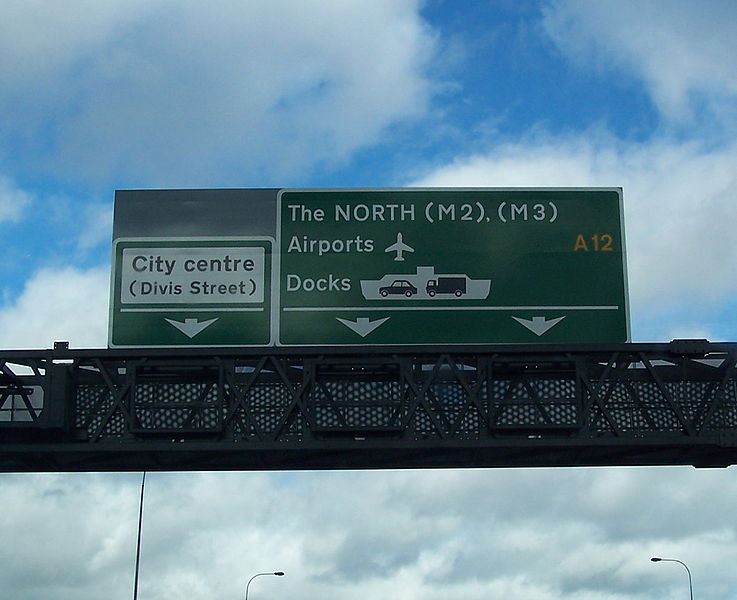
| current | 13:50, 17 March 2010 | | 1,000 × 814 (225 KB) | Jeni (talk | contribs) | '''Dodgy gantry on upgraded A12 Westlink''' This gantry sign was erected northbound on the Westlink between Roden Street and Grosvenor Road in early 2008. However it is erroneous in that the M2 and M3 labels should be written on a blue patch rather than |
File usage
The following 2 pages use this file: