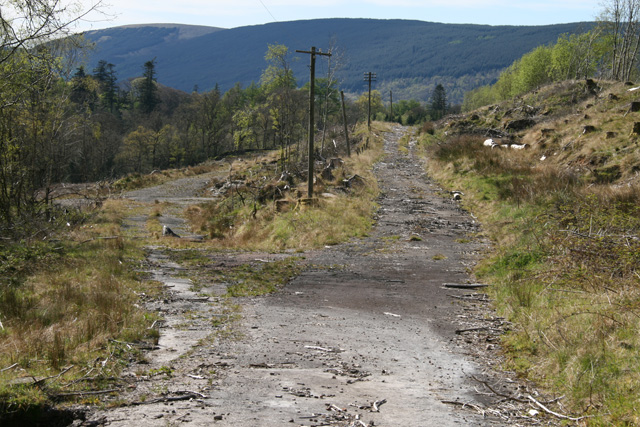
Looking west to the old Dunoon Road End junction. The right hand road is the former A83, while the east fork of the A815 drops to the left before doubling back down the hill when it meets the west fork.
Looking west to the old Dunoon Road End junction. The right hand road is the former A83, while the east fork of the A815 drops to the left before doubling back down the hill when it meets the west fork.
