File:Dunragit level crossing.jpg
Jump to navigation
Jump to search

Size of this preview: 800 × 550 pixels. Other resolution: 1,280 × 880 pixels.
Original file (1,280 × 880 pixels, file size: 653 KB, MIME type: image/jpeg)
| |||||||||||||||||||||||||
|
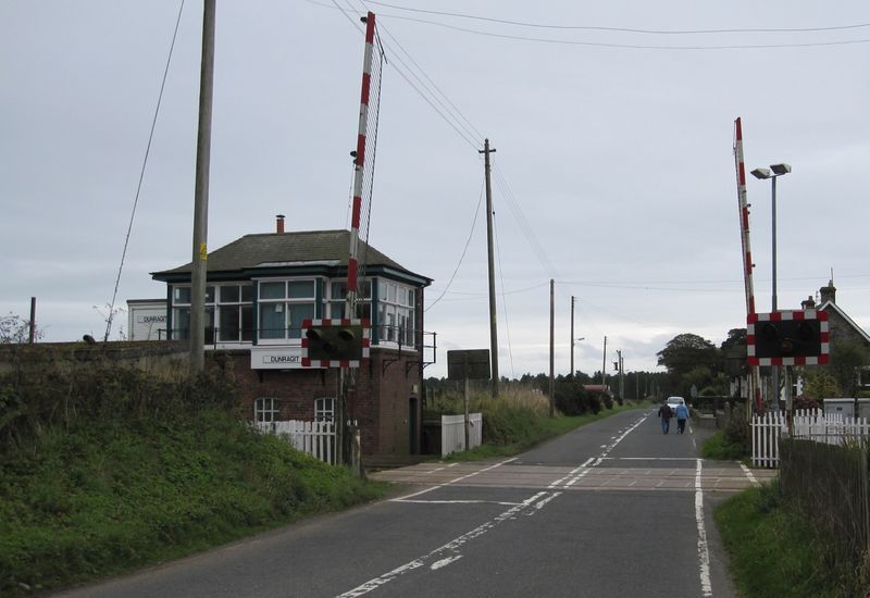
Galleries | S2 | Level Crossing | Wigtownshire | ||
File history
Click on a date/time to view the file as it appeared at that time.
| Date/Time | Thumbnail | Dimensions | User | Comment | |
|---|---|---|---|---|---|
| current | 11:20, 3 October 2010 | | 1,280 × 880 (653 KB) | Glen (talk | contribs) | Dunragit level crossing |
File usage
The following 4 pages use this file: