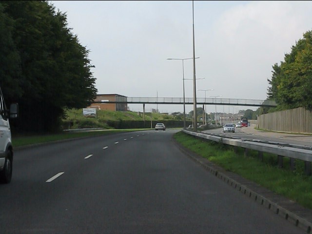
File:Footbridge over Ringland Way (A48) (C) J Whatley - Geograph - 2078875.jpg
Jump to navigation
Jump to search

No higher resolution available.
Footbridge_over_Ringland_Way_(A48)_(C)_J_Whatley_-_Geograph_-_2078875.jpg (640 × 480 pixels, file size: 50 KB, MIME type: image/jpeg)
| |||||||||||||||||||||||||
|
Galleries | A48 | A455 (Newport) | Newport | ||
File history
Click on a date/time to view the file as it appeared at that time.
| Date/Time | Thumbnail | Dimensions | User | Comment | |
|---|---|---|---|---|---|
| current | 21:39, 8 February 2014 | | 640 × 480 (50 KB) | Vlad (talk | contribs) | Footbridge over Ringland Way (A48) (C) J Whatley |
File usage
The following 2 pages use this file:
_(C)_J_Whatley_-_Geograph_-_2078875.jpg&oldid=363284)