File:Ford at Brook End - Geograph - 488819.jpg
Jump to navigation
Jump to search

No higher resolution available.
Ford_at_Brook_End_-_Geograph_-_488819.jpg (640 × 477 pixels, file size: 95 KB, MIME type: image/jpeg)
| |||||||||||||||||||||||||
|
Galleries | Ford | Warning Sign/Worded Warning | Information Sign/Unsuitable | ||
File history
Click on a date/time to view the file as it appeared at that time.
| Date/Time | Thumbnail | Dimensions | User | Comment | |
|---|---|---|---|---|---|
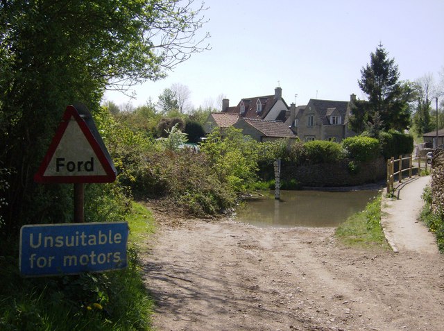
| current | 13:40, 8 March 2010 | | 640 × 477 (95 KB) | Jeni (talk | contribs) | '''Ford at Brook End'''<br/>Seems OK, and seems to have been used. Perhaps not by motor vehicles. Brook End is the hamlet just beyond. |
File usage
The following 2 pages use this file: