File:From footbridge to footbridge, Fabian... (C) Jaggery - Geograph - 3769728.jpg
Jump to navigation
Jump to search

No higher resolution available.
From_footbridge_to_footbridge,_Fabian..._(C)_Jaggery_-_Geograph_-_3769728.jpg (640 × 463 pixels, file size: 94 KB, MIME type: image/jpeg)
| |||||||||||||||||||||||||
|
Galleries | A483 | ||
File history
Click on a date/time to view the file as it appeared at that time.
| Date/Time | Thumbnail | Dimensions | User | Comment | |
|---|---|---|---|---|---|
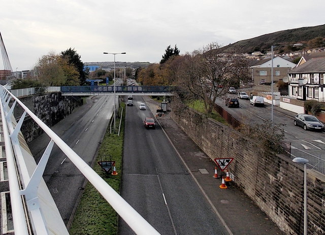
| current | 21:40, 11 February 2014 | | 640 × 463 (94 KB) | Vlad (talk | contribs) | '''From footbridge to footbridge, Fabian... (C) Jaggery '''<br/>Viewed from this <span class="nowrap"><a title="http://www.geograph.org.uk/photo/3756965" rel="nofollow" href="http://www.geograph.org.uk/photo/3756965">Link</a><img style="padding-left:2p... |
File usage
The following page uses this file:
_Jaggery_-_Geograph_-_3769728.jpg&oldid=363601)