File:Gailey Island with M54.png

From Roader's Digest: The SABRE Wiki
Jump to navigation Jump to search

Gailey_Island_with_M54.png(720 × 380 pixels, file size: 48 KB, MIME type: image/png)

Y topleft.gifY topright.gif
Description:Gailey Island with M54 northern route. There were three route options for the M54 during the planning stage. Had the northern route been chosen it would have run parallel to the A5. A feasibility report from 1970 shows a potential layout for the junction with the M54 splitting in two with the northern part being an online dualling of the A5 and leads to M6 J12. The southern part freeflows to the M6 South. This design never got beyond the initial feasibility stage and later proposals were much simplified with only the link to the M6 south getting the underpass.
Location:52.693110, -2.131562
Road:M54, A5 , A449
Date:
Photographer:Truvelo
Source:own drawing

Map

Y btmleft.gifY btmright.gif

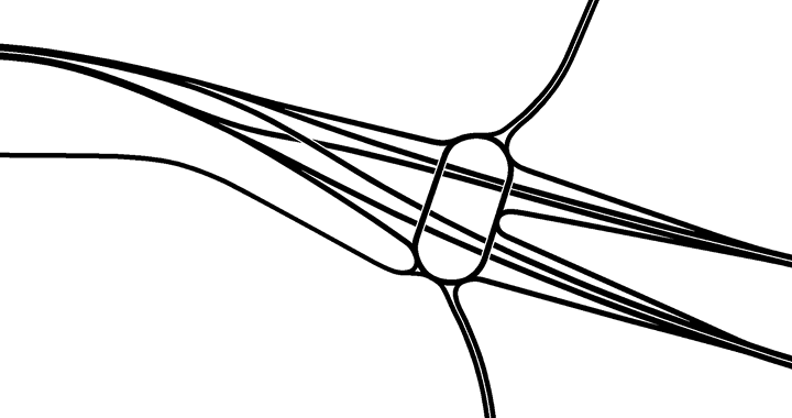
Galleries  | M54 | A5 | A449 | Gailey Island | Wolverhampton


File history

Click on a date/time to view the file as it appeared at that time.

Date/TimeThumbnailDimensionsUserComment
current20:19, 19 November 2013Thumbnail for version as of 20:19, 19 November 2013720 × 380 (48 KB)Truvelo (talk | contribs)Gailey Island with M54 northern route

The following page uses this file:

SABRE - The Society for All British and Irish Road Enthusiasts
Discuss - Digest - Discover - Help