File:Geograph-2233287-by-Ian-S.jpg
Jump to navigation
Jump to search

No higher resolution available.
Geograph-2233287-by-Ian-S.jpg (640 × 480 pixels, file size: 54 KB, MIME type: image/jpeg)
| |||||||||||||||||||||||||
|
Galleries | B1427 | Scarborough | ||
File history
Click on a date/time to view the file as it appeared at that time.
| Date/Time | Thumbnail | Dimensions | User | Comment | |
|---|---|---|---|---|---|
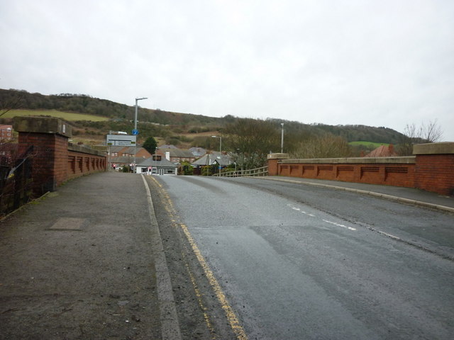
| current | 15:23, 19 July 2015 | | 640 × 480 (54 KB) | Vlad (talk | contribs) | '''Queen Margaret Road, Scarborough'''<br/>The bridge goes over the Hull to Scarborough rail line. |
File usage
The following 2 pages use this file: