File:Geograph-3033180-by-Bill-Harrison.jpg
Jump to navigation
Jump to search

No higher resolution available.
Geograph-3033180-by-Bill-Harrison.jpg (640 × 426 pixels, file size: 93 KB, MIME type: image/jpeg)
| |||||||||||||||||||||||||
|
Galleries | B3265 | unclassified | ||
File history
Click on a date/time to view the file as it appeared at that time.
| Date/Time | Thumbnail | Dimensions | User | Comment | |
|---|---|---|---|---|---|
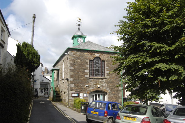
| current | 19:23, 4 January 2016 | | 640 × 426 (93 KB) | Vlad (talk | contribs) | '''Camelford Library, Market Place, Camelford'''<br/>Hemmed in between Chapel Street and the A39; built 1806; grade II listed. |
File usage
The following 2 pages use this file: