File:Geograph-3929776-by-JThomas.jpg
Jump to navigation
Jump to search

No higher resolution available.
Geograph-3929776-by-JThomas.jpg (640 × 480 pixels, file size: 99 KB, MIME type: image/jpeg)
| |||||||||||||||||||||||||
|
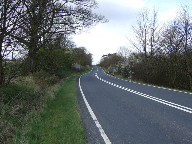
Galleries | A18 | B1431 (Laceby - Ludborough) | ||
File history
Click on a date/time to view the file as it appeared at that time.
| Date/Time | Thumbnail | Dimensions | User | Comment | |
|---|---|---|---|---|---|
| current | 19:50, 19 July 2015 | | 640 × 480 (99 KB) | Vlad (talk | contribs) | '''Barton Street (A18)'''<br/>Heading north towards Brigg. |
File usage
The following 2 pages use this file: