File:Greyfriars Bridge - Geograph - 854117.jpg
Jump to navigation
Jump to search

No higher resolution available.
Greyfriars_Bridge_-_Geograph_-_854117.jpg (640 × 480 pixels, file size: 77 KB, MIME type: image/jpeg)
| |||||||||||||||||||||||||
|
Galleries | A49 | Herefordshire Cider Route | Hereford | Greyfriars Bridge | ||
File history
Click on a date/time to view the file as it appeared at that time.
| Date/Time | Thumbnail | Dimensions | User | Comment | |
|---|---|---|---|---|---|
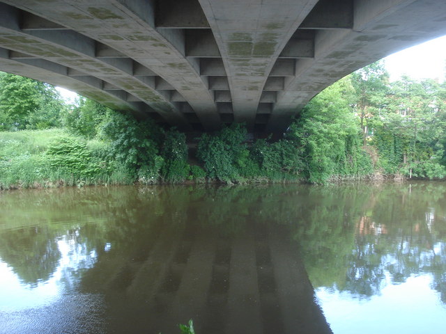
| current | 15:40, 15 August 2010 | | 640 × 480 (77 KB) | Bob@romiley1 (talk | contribs) | '''Greyfriars Bridge'''<br/>View northwards from the riverside footpath. The bridge was built in 1966 to carry the dual carriageway over the Wye and relieve traffic pressure from the Old Bridge. |
File usage
The following 4 pages use this file: