File:Hemel Hempstead- B487 Queensway - Geograph - 586121.jpg
Jump to navigation
Jump to search

No higher resolution available.
Hemel_Hempstead-_B487_Queensway_-_Geograph_-_586121.jpg (640 × 480 pixels, file size: 112 KB, MIME type: image/jpeg)
| |||||||||||||||||||||||||
|
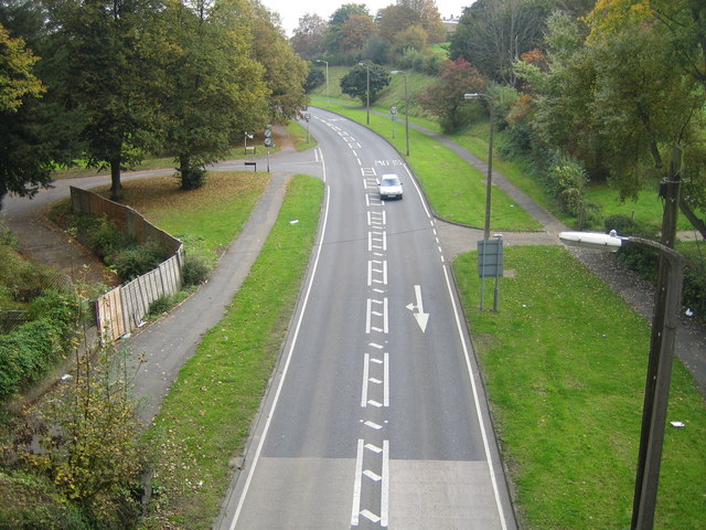
Galleries | B487 | Hemel Hempstead | ||
File history
Click on a date/time to view the file as it appeared at that time.
| Date/Time | Thumbnail | Dimensions | User | Comment | |
|---|---|---|---|---|---|
| current | 15:32, 8 April 2010 | | 640 × 480 (112 KB) | Sabristo simon (talk | contribs) | '''Hemel Hempstead- B487 Queensway'''<br/>Viewed from the Nicky Line railway bridge. |
File usage
The following 3 pages use this file: