File:High Street Winchcombe in 1973 - Geograph - 754565.jpg
Jump to navigation
Jump to search

Size of this preview: 435 × 600 pixels. Other resolution: 464 × 640 pixels.
Original file (464 × 640 pixels, file size: 52 KB, MIME type: image/jpeg)
| |||||||||||||||||||||||||
File history
Click on a date/time to view the file as it appeared at that time.
| Date/Time | Thumbnail | Dimensions | User | Comment | |
|---|---|---|---|---|---|
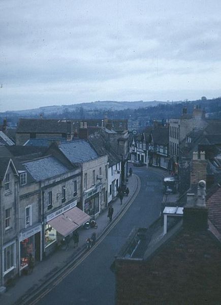
| current | 11:37, 6 March 2010 | | 464 × 640 (52 KB) | Jeni (talk | contribs) | High Street Winchcombe in 1973. The road was the A46 at the time, now the B4632 |
File usage
The following page uses this file: