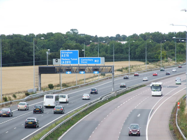
File:Junction 4, M2 Motorway, Kent - Geograph - 1429664.jpg
Jump to navigation
Jump to search

No higher resolution available.
Junction_4,_M2_Motorway,_Kent_-_Geograph_-_1429664.jpg (640 × 480 pixels, file size: 68 KB, MIME type: image/jpeg)
| |||||||||||||||||||||||||
|
Galleries | M2 | Gillingham Interchange | Gantry Sign | ||
File history
Click on a date/time to view the file as it appeared at that time.
| Date/Time | Thumbnail | Dimensions | User | Comment | |
|---|---|---|---|---|---|
| current | 14:20, 30 December 2009 | | 640 × 480 (68 KB) | Jeni (talk | contribs) | {{Information |description = Junction 4, M2 Motorway, Kent |day = 04 |month = 08 |year = 2009 |photographer = © Copyright [http://www.geograph.org.uk/profile/27922 Chris] and licensed for reuse under [http://creativecommons.org/l |
File usage
The following 3 pages use this file: