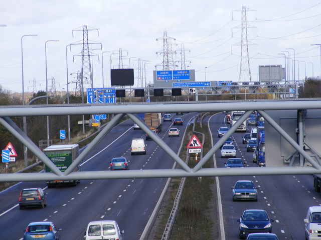
File:Junction 6 - Geograph - 1573235.jpg
Jump to navigation
Jump to search

No higher resolution available.
Junction_6_-_Geograph_-_1573235.jpg (640 × 480 pixels, file size: 79 KB, MIME type: image/jpeg)
| |||||||||||||||||||||||||
|
Galleries | M42 | E05 | Birmingham | Smart Motorway | D3M | Gantry Sign | Variable Message Sign | Variable Speed Limit | ||
File history
Click on a date/time to view the file as it appeared at that time.
| Date/Time | Thumbnail | Dimensions | User | Comment | |
|---|---|---|---|---|---|
| current | 20:28, 14 December 2009 | | 640 × 480 (79 KB) | Jeni (talk | contribs) | {{Information |description = Junction 6 |day = 05 |month = 11 |year = 2009 |photographer = © Copyright [http://www.geograph.org.uk/profile/11160 Gordon Griffiths] and licensed for reuse under [http://creativecommons.org/licenses/ |
File usage
The following 5 pages use this file: