File:King's Road promenade - Geograph - 3221458.jpg
Jump to navigation
Jump to search

No higher resolution available.
King's_Road_promenade_-_Geograph_-_3221458.jpg (640 × 427 pixels, file size: 84 KB, MIME type: image/jpeg)
| |||||||||||||||||||||||||
File history
Click on a date/time to view the file as it appeared at that time.
| Date/Time | Thumbnail | Dimensions | User | Comment | |
|---|---|---|---|---|---|
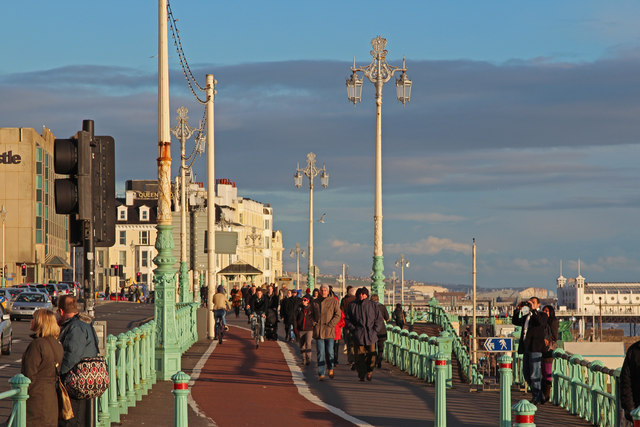
| current | 16:58, 21 January 2023 | | 640 × 427 (84 KB) | Jervi (talk | contribs) | '''King's Road promenade''' NCN 2 shares the narrow promenade at this pinch point which often leads to conflicts between pedestrians and cyclists, especially during the summer |
File usage
The following 3 pages use this file: