File:Lairg level crossing.jpg
Jump to navigation
Jump to search

Size of this preview: 800 × 600 pixels. Other resolution: 1,280 × 960 pixels.
Original file (1,280 × 960 pixels, file size: 733 KB, MIME type: image/jpeg)
| |||||||||||||||||||||||||
|
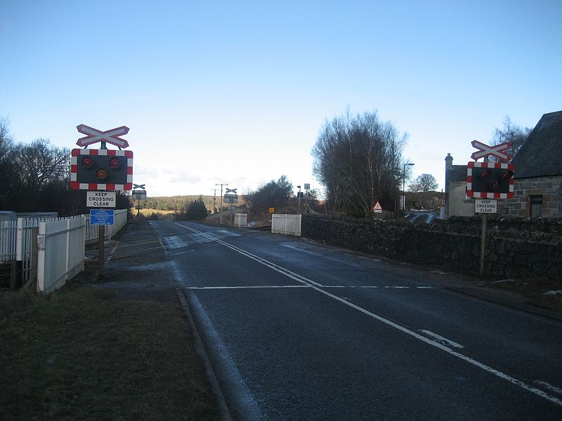
Galleries | A836 | Moray Firth Tourist Route | Level Crossing | Lairg | ||
File history
Click on a date/time to view the file as it appeared at that time.
| Date/Time | Thumbnail | Dimensions | User | Comment | |
|---|---|---|---|---|---|
| current | 00:13, 13 February 2010 | | 1,280 × 960 (733 KB) | Glen (talk | contribs) | {{Information |description = Lairg level crossing |day = 12 |month = 02 |year = 2010 |photographer = Glen |source = |road = A836 |road2 = |road3 = |lat = 58.0036810 |lng = -4.397476 |
File usage
The following page uses this file: