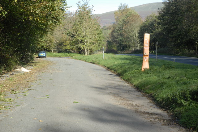
File:Lay-by and picnic area off the A479T - Geograph - 271912.jpg
Jump to navigation
Jump to search

No higher resolution available.
Lay-by_and_picnic_area_off_the_A479T_-_Geograph_-_271912.jpg (640 × 428 pixels, file size: 123 KB, MIME type: image/jpeg)
| |||||||||||||||||||||||||
|
Galleries | A479 (Crickhowell - Llyswen) | ||
File history
Click on a date/time to view the file as it appeared at that time.
| Date/Time | Thumbnail | Dimensions | User | Comment | |
|---|---|---|---|---|---|
| current | 18:37, 8 September 2009 | | 640 × 428 (123 KB) | Jeni (talk | contribs) | {{Information |description = Lay-by and picnic area off the A479T |day = 03 |month = 11 |year = 2006 |photographer = © Copyright [http://www.geograph.org.uk/profile/6713 Cedwyn Davies] and licensed for reuse under [http://creativ |
File usage
The following page uses this file: