File:Level crossing... (C) Hywel Williams - Geograph - 320715.jpg
Jump to navigation
Jump to search

No higher resolution available.
Level_crossing..._(C)_Hywel_Williams_-_Geograph_-_320715.jpg (640 × 411 pixels, file size: 62 KB, MIME type: image/jpeg)
| |||||||||||||||||||||||||
|
Galleries | Level Crossing | Carmarthenshire | ||
File history
Click on a date/time to view the file as it appeared at that time.
| Date/Time | Thumbnail | Dimensions | User | Comment | |
|---|---|---|---|---|---|
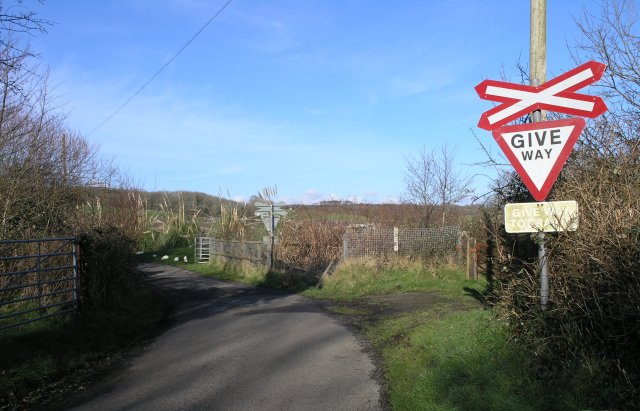
| current | 13:16, 4 November 2013 | | 640 × 411 (62 KB) | Glen (talk | contribs) | '''Level crossing... (C) Hywel Williams '''<br/>This level crossing's signs are looking quite modern - however it's about the only evidence that a railway used to cross this road! The road has obviously been resurfaced since the railway closed and car... |
File usage
The following page uses this file:
_Hywel_Williams_-_Geograph_-_320715.jpg&oldid=376663)