File:Level crossing (C) Ray Durrant - Geograph - 2919321.jpg
Jump to navigation
Jump to search

No higher resolution available.
Level_crossing_(C)_Ray_Durrant_-_Geograph_-_2919321.jpg (640 × 480 pixels, file size: 125 KB, MIME type: image/jpeg)
| |||||||||||||||||||||||||
|
Galleries | A4065 | Level Crossing | Glamorgan | ||
File history
Click on a date/time to view the file as it appeared at that time.
| Date/Time | Thumbnail | Dimensions | User | Comment | |
|---|---|---|---|---|---|
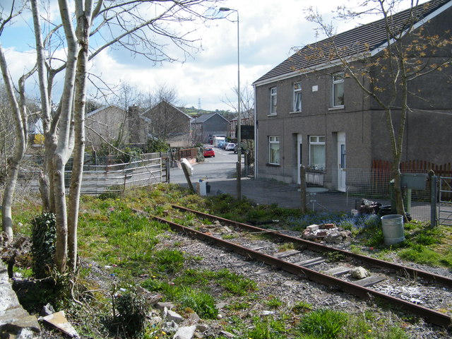
| current | 04:03, 10 November 2013 | | 640 × 480 (125 KB) | Glen (talk | contribs) | '''Level crossing (C) Ray Durrant '''<br/>Garw Valley Railway over Abergarw Road, Brynmenyn |
File usage
The following 3 pages use this file:
_Ray_Durrant_-_Geograph_-_2919321.jpg&oldid=358479)