File:Level crossing at Pont Croesor (C) John Firth - Geograph - 2109382.jpg
Jump to navigation
Jump to search

No higher resolution available.
Level_crossing_at_Pont_Croesor_(C)_John_Firth_-_Geograph_-_2109382.jpg (640 × 480 pixels, file size: 85 KB, MIME type: image/jpeg)
| |||||||||||||||||||||||||
|
Galleries | B4410 | Level Crossing | Caernarfonshire | ||
File history
Click on a date/time to view the file as it appeared at that time.
| Date/Time | Thumbnail | Dimensions | User | Comment | |
|---|---|---|---|---|---|
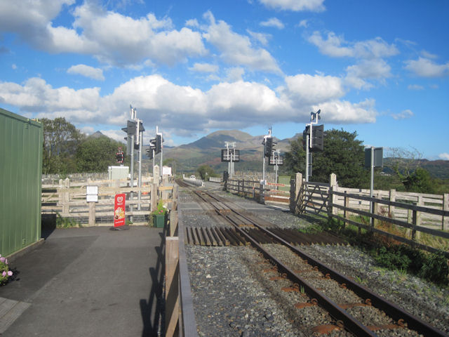
| current | 02:24, 27 October 2013 | | 640 × 480 (85 KB) | Glen (talk | contribs) | '''Level crossing at Pont Croesor (C) John Firth '''<br/>Just north of Pont Croesor station which at present is the southern terminus of the Welsh Highland railway |
File usage
The following 2 pages use this file:
_John_Firth_-_Geograph_-_2109382.jpg&oldid=356066)