File:Level crossing in Whitland (C) Philip Halling - Geograph - 3707048.jpg
Jump to navigation
Jump to search

No higher resolution available.
Level_crossing_in_Whitland_(C)_Philip_Halling_-_Geograph_-_3707048.jpg (640 × 425 pixels, file size: 58 KB, MIME type: image/jpeg)
| |||||||||||||||||||||||||
|
Galleries | B4328 | Level Crossing | Carmarthenshire | ||
File history
Click on a date/time to view the file as it appeared at that time.
| Date/Time | Thumbnail | Dimensions | User | Comment | |
|---|---|---|---|---|---|
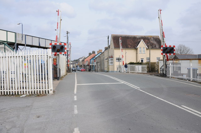
| current | 11:43, 4 November 2013 | | 640 × 425 (58 KB) | Glen (talk | contribs) | '''Level crossing in Whitland (C) Philip Halling '''<br/>Level crossing on the B4328 in Whitland, the town's railway station is immediately on the left. The station's footbridge can be seen in the left. |
File usage
The following 3 pages use this file:
_Philip_Halling_-_Geograph_-_3707048.jpg&oldid=376654)