File:Level crossing on the A473 near... (C) Gareth James - Geograph - 2441765.jpg
Jump to navigation
Jump to search

No higher resolution available.
Level_crossing_on_the_A473_near..._(C)_Gareth_James_-_Geograph_-_2441765.jpg (640 × 480 pixels, file size: 62 KB, MIME type: image/jpeg)
| |||||||||||||||||||||||||
|
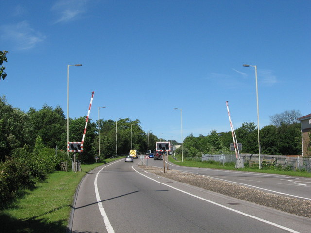
Galleries | A473 | Level Crossing | Glamorgan | ||
File history
Click on a date/time to view the file as it appeared at that time.
| Date/Time | Thumbnail | Dimensions | User | Comment | |
|---|---|---|---|---|---|
| current | 05:46, 10 November 2013 | | 640 × 480 (62 KB) | Glen (talk | contribs) | '''Level crossing on the A473 near... (C) Gareth James '''<br/>Not likely to be used again any time soon, as the rails to the north (right) have been lifted, and those to the south are very overgrown. |
File usage
The following 2 pages use this file:
_Gareth_James_-_Geograph_-_2441765.jpg&oldid=358483)