File:M1 J21 full layout.png
Jump to navigation
Jump to search

No higher resolution available.
M1_J21_full_layout.png (720 × 600 pixels, file size: 67 KB, MIME type: image/png)
| |||||||||||||||||||||||||
|
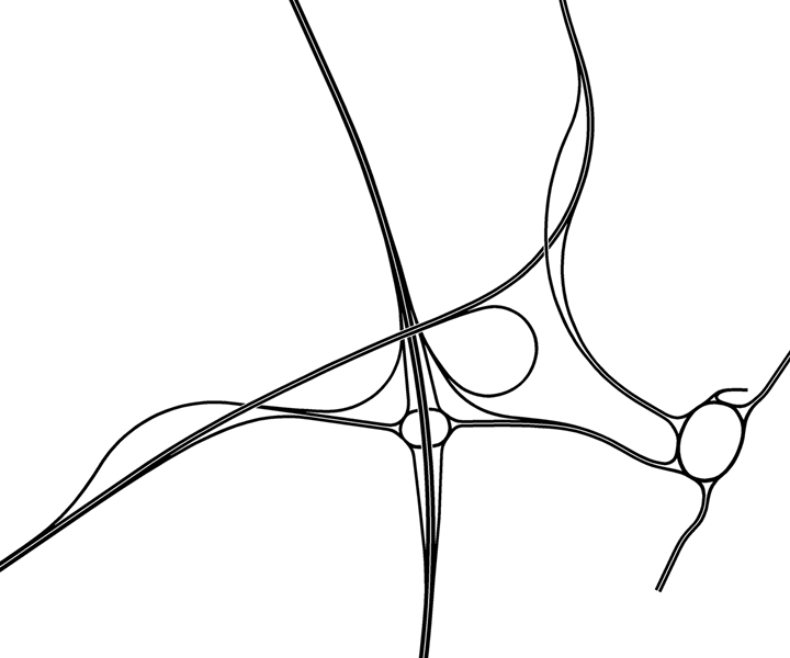
Galleries | M1 | M69 | Whetstone Interchange | Leicester | ||
File history
Click on a date/time to view the file as it appeared at that time.
| Date/Time | Thumbnail | Dimensions | User | Comment | |
|---|---|---|---|---|---|
| current | 16:57, 15 March 2014 | | 720 × 600 (67 KB) | Truvelo (talk | contribs) | Plan of the full intended layout of M1 J21 as originally planned in the early 1970s. |
File usage
The following 3 pages use this file:
- Whetstone Interchange
- File:M1 J21 full layout (file redirect)
- File:M1 J21 full layout (file redirect)