File:M23 Junction 9 - Gatwick Airport Spur Road, West Sussex - Geograph - 27708.jpg
Jump to navigation
Jump to search

No higher resolution available.
M23_Junction_9_-_Gatwick_Airport_Spur_Road,_West_Sussex_-_Geograph_-_27708.jpg (640 × 480 pixels, file size: 138 KB, MIME type: image/jpeg)
| |||||||||||||||||||||||||
|
Galleries | M23 | Gatwick Interchange | ||
File history
Click on a date/time to view the file as it appeared at that time.
| Date/Time | Thumbnail | Dimensions | User | Comment | |
|---|---|---|---|---|---|
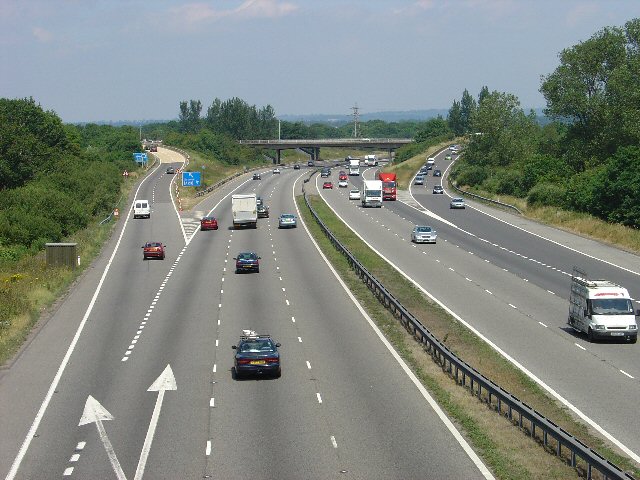
| current | 15:51, 13 June 2016 | | 640 × 480 (138 KB) | Jeni (talk | contribs) | '''M23 Junction 9 - Gatwick Airport Spur Road, West Sussex''' Viewed from a bridleway bridge just to the south, looking N. |
File usage
The following 2 pages use this file: