File:M25 - approaching junction 17 - Geograph - 1994719.jpg
Jump to navigation
Jump to search

No higher resolution available.
M25_-_approaching_junction_17_-_Geograph_-_1994719.jpg (640 × 440 pixels, file size: 46 KB, MIME type: image/jpeg)
| |||||||||||||||||||||||||
|
Galleries | M25 | E30 | Gantry Sign | D4M | Rickmansworth | ||
File history
Click on a date/time to view the file as it appeared at that time.
| Date/Time | Thumbnail | Dimensions | User | Comment | |
|---|---|---|---|---|---|
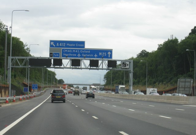
| current | 23:23, 3 March 2011 | | 640 × 440 (46 KB) | Si404 (talk | contribs) | '''M25 - approaching junction 17'''<br/>In the cutting south of Chorleywood. Work is almost complete on adding an additional lane. |
File usage
The following 2 pages use this file: