File:M3 Offslip - Sydenham Bypass Onslip, Belfast - Geograph - 1444235.jpg
Jump to navigation
Jump to search

No higher resolution available.
M3_Offslip_-_Sydenham_Bypass_Onslip,_Belfast_-_Geograph_-_1444235.jpg (640 × 480 pixels, file size: 68 KB, MIME type: image/jpeg)
| |||||||||||||||||||||||||
|
Galleries | M3 (Northern Ireland) | A2 (Northern Ireland) | Belfast | ||
File history
Click on a date/time to view the file as it appeared at that time.
| Date/Time | Thumbnail | Dimensions | User | Comment | |
|---|---|---|---|---|---|
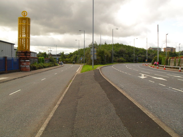
| current | 12:50, 4 May 2010 | | 640 × 480 (68 KB) | Si404 (talk | contribs) | '''M3 Offslip - Sydenham Bypass Onslip, Belfast'''<br/>To the left is the onslip to the A2 Sydenham Bypass (opened 1938) and to the right is the offslip from the M3 Harbour Bridge (opened 1995) to Sydenham Road and the Odyssey complex. Both are closed off |
File usage
The following page uses this file: