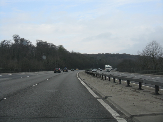
M40 Motorway - near junction 3 The motorway is now down to three lanes per carriageway (plus emergency lane), following a lane drop at junction 3, despite a steep grade out of the River Wye's valley which might merit a fourth lane.
'''M40 Motorway - near junction 3'''<br/>The motorway is now down to three lanes per carriageway (plus emergency lane), following a lane drop at junction 3, despite a steep grade out of the River Wye's valley which might merit a fourth lane.
File usage
There are no pages that use this file.
Metadata
This file contains additional information, probably added from the digital camera or scanner used to create or digitise it.
If the file has been modified from its original state, some details may not fully reflect the modified file.
